
Harvey ZIP Coverage Confirmed
The official Harvey addresses inspected in the research use 60426. City Hall and Harvey Public Library both provide strong current examples, and USPS is the authority for checking an individual mailing address. No second ZIP was confirmed for an incorporated Harvey address. The nearby 60428 postal area is associated with Markham and adjacent communities, so it should not be presented as a Harvey ZIP without a current USPS result for the exact street address.
| ZIP | Confirmed Harvey area | Verification source | Boundary note |
|---|---|---|---|
| 60426 | Core Harvey postal city, including official City and Library addresses | USPS city/state or street lookup | Postal coverage may cross or miss parts of an incorporated line |
| 60428 | Not confirmed as an incorporated Harvey ZIP | Verify an exact address at USPS | Nearby Markham-area label; do not assume Harvey coverage |
This restrained table matters. The research found no official ZIP split, realignment, PO-box-only ZIP, unique institutional ZIP, or ZIP-level population report for Harvey. A sound postal directory should mark those gaps instead of turning nearby postal geography into fact.
Verify a Harvey ZIP
The USPS ZIP Code Lookup is the right first stop for a city-and-state search or a complete street address. It establishes a mailing label, not whether a parcel sits inside Harvey. Search the precise address when a city/state result is broad, and preserve the standardized street spelling returned by USPS.
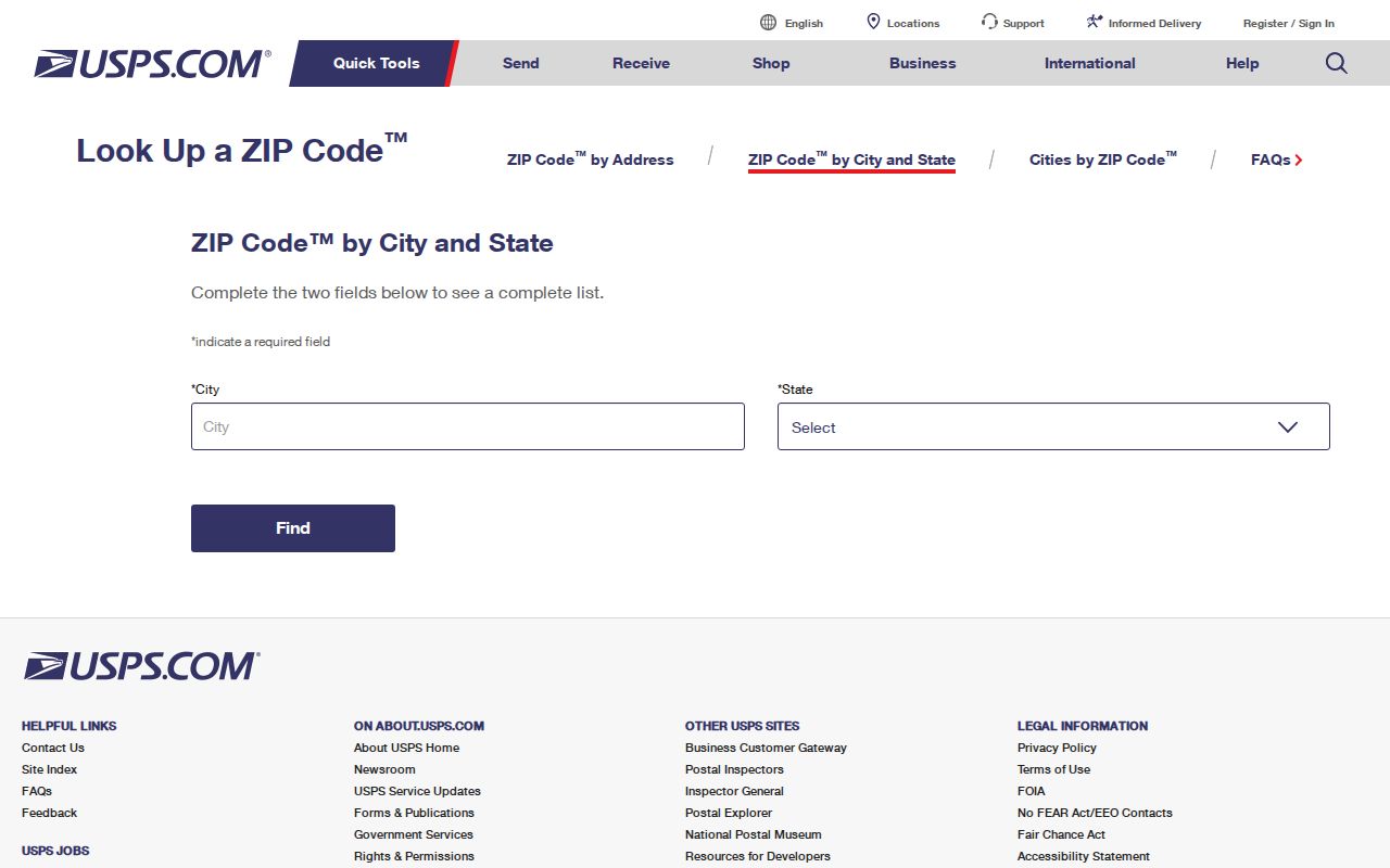
The captured USPS page shows the official lookup route. Run it again when accuracy matters because postal assignments can change, and do not treat a search result as a list of residents or property owners.
Narrow Harvey Residents by ZIP
Harvey record portals do not offer one public ZIP-wide resident list. The Assessor accepts a street and city, then ties the address to a parcel PIN. CookViewer searches addresses, intersections and PINs and lets a researcher inspect the mapped line. The voter lookup uses ZIP as one identifying field for an individual, not as permission to gather a whole postal area. That means a postal directory narrows the task before the real record search begins.
- Check the full mailing address through USPS. Save the standardized city, state and ZIP exactly as returned.
- Enter the house number, direction, street name and HARVEY in the Cook County Assessor address search. Do not expect a reliable all-parcels-by-ZIP filter.
- Carry the parcel PIN into CookViewer to confirm the mapped parcel and city line. Use the PIN as the stable bridge to tax and deed records.
- When checking one voter registration, provide the State Board’s required personal fields, including ZIP where requested. Do not turn the individual tool into a roster.
Once the result narrows to a named road, the Harvey street directory explains the address-level chain without confusing postal geography with occupancy.
Harvey ZIP to Parcel Route
The Cook County Property Tax Portal accepts an address or PIN and routes to the county offices involved in a parcel. ZIP may appear in the address context, but the 14-digit PIN is the better key for repeated research.
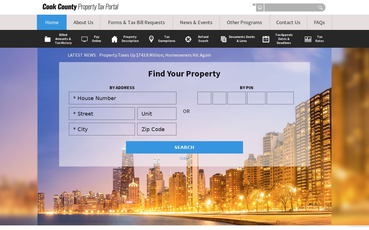
This search view illustrates the handoff from a postal clue to a county identifier. Keep the Assessor’s Property Location separate from the taxpayer mailing address. The Assessor expressly warns that Property Location is not a legal or postal mailing address, while a taxpayer may receive mail far from the parcel.
The broader Cook County property tax portal route identifies the county record family behind the lookup.
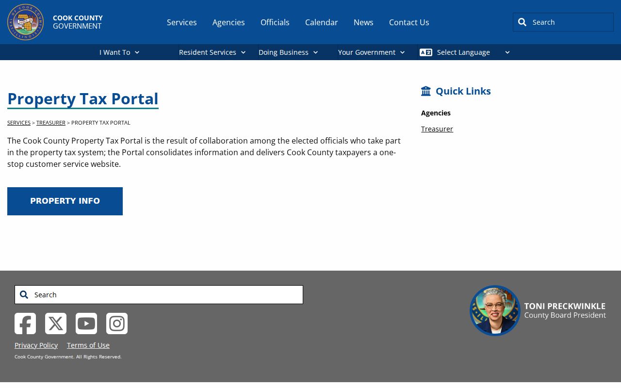
The portal’s office links help confirm which custodian owns a field. Use the Assessor for parcel facts, the Treasurer for tax bills, and the Clerk’s recordings system for deeds.
Fields Behind Harvey ZIP Searches
No observed county portal offered a dependable public “all Harvey residents in 60426” filter. The useful fields instead move from a postal address toward a parcel. This search-field inventory prevents a postal directory query from promising a capability the official tools do not have.
| Official tool | Fields used | What ZIP does |
|---|---|---|
| USPS Lookup | City and state, or full street address | Confirms the postal label |
| Assessor Address Search | House number, direction, street, city, CAPTCHA | May appear in the result, not a verified area filter |
| CookViewer | Address, intersection, 10- or 14-digit PIN | Map browse can compare postal and city context |
| Voter Lookup | First and last name, birth date, ZIP, street number and name | Narrows one permitted individual search |
The property portal may display a ZIP within its address, yet the PIN remains the reliable link among the parcel card, CookViewer and recorded documents. Historical directories predate current ZIP use and must not be assigned a modern code without a dated source.
Harvey ZIP and City Limits
A postal city is not an incorporated boundary. An address near Harvey can carry a postal label that differs from the municipality containing its parcel, and a taxpayer’s mailing address can sit outside both. Confirm the parcel line in CookViewer and the mailing label in USPS. City-linked ward, zoning and city-owned-property viewers answer municipal questions; county CookViewer answers parcel questions. Neither turns a postal code into a resident roll.
Boundary check. Use USPS for mail, CookViewer for the parcel, and Harvey maps for the city line. Agreement should be verified, never assumed.
- ZIP
- A postal delivery code assigned by USPS, not a city boundary.
- ZIP+4
- A more precise delivery segment added to the five-digit ZIP.
- PO-box ZIP
- A code assigned to post-office boxes rather than ordinary street delivery.
- Unique ZIP
- A code assigned to one high-volume organization; none was confirmed for Harvey.
- Carrier route
- A USPS delivery path within a ZIP, not a list of people.
Before Harvey Used ZIP Codes
Harvey address research reaches back before modern postal codes. The City’s official history says the community was known as South Lawn before Harvey came into official use in May 1891. Illinois Central land, Section Eight, the 1871–1872 subdivision into blocks, and the Harvey Land Association can appear in plats, deeds, newspapers and directories where no modern ZIP exists.
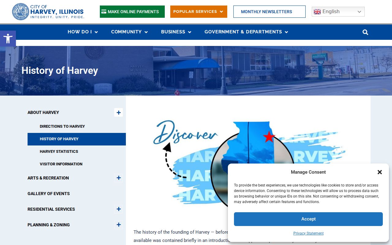
The history screen supplies the context for older searches. Try South Lawn, Harvey Land Association, block and lot, section, township and range. Do not backfill 60426 into an old entry merely because the same site uses that ZIP today.
Broadway, Halsted, Dixie Highway and numbered streets are useful modern anchors, but no official renaming or renumbering chronology was found. When a street does not resolve, compare the old spelling with a historic plat, the legal description and today’s parcel PIN.
Official Harvey Address Examples
The Harvey municipal contact directory gives current City office addresses using 60426. Those records are good dated examples of the primary postal code, but they cannot establish that every parcel inside Harvey has the same mailing label.
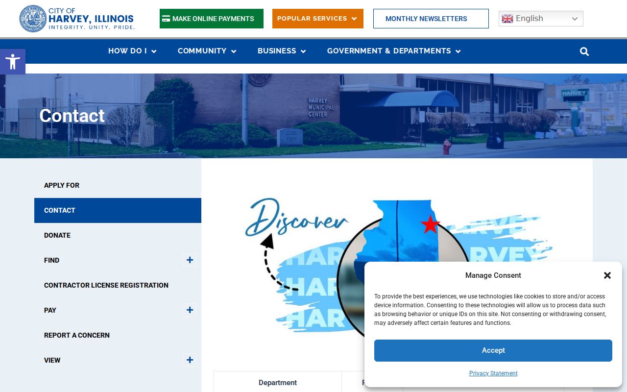
The captured directory also helps separate an office location from the record it keeps. City Hall handles municipal matters, while Cook County offices control parcel, deed and court systems. A postal directory should route the question to the custodian after the address is verified.
Build a Harvey ZIP Crosswalk
A useful ZIP code directory keeps each kind of address in its own column. Start with the standardized USPS mailing address and the date it was checked. Add the Assessor's Property Location exactly as shown, then the full Cook County PIN. Open that PIN in CookViewer and note whether the parcel falls within the Harvey municipal line. Finally, save the CRS legal description, which may use lot, block, subdivision, condominium, acreage, section, township, or range instead of the postal wording.
The sample Harvey parcel shows how much the forms can differ. The street search uses 3256 Ridge Road, while the linked county systems identify PIN 29-29-206-020-0000. The recorded document detail also describes section 29, township 36, range 14, and acreage. All of those labels can point toward the same land, but each comes from a custodian with a different job. Keeping the source beside the field stops a mailing ZIP from being mistaken for a legal boundary.
This crosswalk also helps when a search fails. Test the street name without its suffix in the Assessor form, preserve leading zeroes in the 14-digit PIN, and use parcel or legal-description fields for older records. If USPS and CookViewer disagree, record both results and their dates. Ask the City about municipal addressing, USPS about delivery labels, and Cook County about parcel or recorded-document data.
Harvey ZIP Gaps Stay Visible
The research did not confirm a Harvey ZIP split, annexation-based readdressing project, E911 conversion, PO-box-only code, unique code, or official ZIP-level resident count. It also did not confirm that 60428 serves an incorporated Harvey parcel. These are limits, not invitations to fill the table with nearby ZIP codes. For a current decision, rerun the exact address at USPS and compare the parcel against CookViewer's municipal context.
Historical work needs the same restraint. A directory printed before ZIP codes cannot be assigned 60426 from a modern map alone. Cite the old city and street wording, then add the modern crosswalk as a separate research note. That keeps South Lawn, early Harvey land terms, and today's postal system from collapsing into one false timeline.
Use Harvey ZIP Clues Carefully
A ZIP match is weak identity evidence. Two same-name people may share 60426, while a Harvey taxpayer can receive mail elsewhere. Confirm a person with another lawful fact such as an exact street, parcel, middle initial, public credential or case number. The Illinois voter tool is meant for an individual check, and the statewide file is controlled by 10 ILCS 5/1A-16 and purpose restrictions.
Commercial people-finder data may attach a stale ZIP to the wrong person or merge household entries. Use official postal and county sources instead. Never collect or use address details to stalk, harass, threaten or intimidate anyone, and respect protected addresses and restricted records.