
Harvey Neighbors by Public Source
No official roll gives a complete list of the people on a Harvey block. CookViewer supplies parcel geometry and lets a researcher select the lots around one address. The Assessor adds parcel and taxpayer fields. Illinois voter access can confirm one person's registration when the required identifying facts are supplied, but it is not a block roster. Community and history sources show public groups, places, and past block life without claiming who is inside a home now.
| Source | What It Shows About a Block | Access |
|---|---|---|
| CookViewer | Parcel shapes, PINs, locations, layers, districts, and selected adjacent lots | Free map with select, nearby, export, and print tools |
| Cook County Assessor | Parcel facts, property location, taxpayer or owner fields, class, and assessed data | Free address or PIN search with CAPTCHA |
| Illinois voter lookup | One person's registration confirmation from supplied identity and address fields | Individual lookup only; full-file access is purpose-bound |
| Harvey city maps | Ward, zoning, and city-owned-property context | Separate City-linked ArcGIS viewers |
| Local history collections | Past homes, schools, churches, firms, events, newspapers, and directories | Library and contact-led archive research |
An owner name beside a parcel is not a household list. A mailing address may point far from Harvey, and a resident can be absent from ownership records. Mark every result as parcel, taxpayer, registered voter, historical entry, or public group contact. That label keeps a neighbor search honest.
Select Harvey Neighbors in CookViewer
Use CookViewer to define the block before opening person-linked records. Its search choices include parcel, PIN, parcel address locator, address locator, and a general search. The viewer can click one parcel, select with a rectangle or polygon, find nearby parcels at a chosen distance, export selected rows to CSV or Excel, and print a titled map or report. Parcel, zoning, flood, district, assessment, imagery, and historical layers answer different questions.
- Search the anchor street address or full 14-digit PIN. If results stack, choose the parcel whose shape and property location match.
- Click the parcels sharing a boundary, or draw a small selection around the immediate block. Record the selection date and rule.
- Open each selected parcel. Save its PIN, property location, classification, legal context, and district fields, not an inferred resident name.
- Run each PIN through the Assessor when an owner or taxpayer field is needed. Keep the property location apart from the mailing address.
- Export only the defined parcel set and keep the map print with it. For a whole named road, use the fuller Harvey street directory method.
This process moves from address to parcel, then adjacent parcels, then official property facts. It does not turn a map polygon into a claim about who lives there.
Four Maps for Harvey Neighbors
Harvey's map stack is a useful local quirk. CookViewer is the county parcel source. The City's municipal maps page points to separate ward, zoning, and searchable city-owned-property viewers. The four maps overlap on a street, yet each comes from a different authority and may carry different dates and fields.
A parcel map answers which lots touch. A ward map places the block in an elected district. Zoning describes the land-use framework, not the people at an address. The city-owned-property layer can flag a public holding that should not be read as a private household. This distinction is vital when a block includes vacant or public land.
The research manifest did not produce a usable live ArcGIS capture, but it did capture the City permit route. Open Harvey's permit forms page before asking whether a project file exists.
The page shows application access rather than a public permit-history index, so address-specific history may require the department or a records request.
Harvey Block Records by Request
Municipal records can add block context when no searchable history exists. Harvey's Clerk is the keeper of official City records and City Code, the FOIA coordinator, elections director, and vital-records clerk. City Hall is at 15320 Broadway Avenue. Clerk office hours in the research are Monday through Friday, 9:00 a.m. to 5:00 p.m.; the general City number is 708-210-5300.
Review the Harvey City Clerk's official records role.
The Clerk routes City records but does not publish a people index, which keeps the request tied to a record, address, date range, or agency file.
For a missing permit, inspection, council item, or City map record, start at the Harvey FOIA page. State law generally gives a public body five business days to respond to a noncommercial request, subject to allowed extensions and exemptions. Ask for an existing file by exact address and date range. Do not ask the City to compile a neighbor list.
Open Harvey's public-record request instructions.
The captured page supplies the official route for a focused municipal-record request when the public web pages have no searchable file.
Confirm One Harvey Neighbor
The Illinois Online Voter Registration Lookup is designed for an individual confirmation. Research field references show first name, last name, date of birth, ZIP, street number, and street name. Those required details make it unlike a parcel map. It does not offer a casual map of all registered voters on a Harvey block, and it should not be probed again and again to build one.
Statewide computerized voter data follows 10 ILCS 5/1A-16. Release and use are limited by statute, and sensitive fields are withheld. The public data rules bar personal, private, commercial, advertising, marketing, intimidation, threat, deception, and harassment uses. No party-registration field was confirmed for Illinois, so do not infer or publish one.
| Public source | Sound use | What it cannot establish |
|---|---|---|
| Parcel map | Which lots surround an anchor | Every occupant of each home |
| Assessor record | Parcel and taxpayer or owner facts | That the named taxpayer lives there |
| Individual voter lookup | A supplied person's registration match | A full block roster or all household members |
| Commercial compiled tool | A lead to verify at its original source | Freshness, identity, or complete sourcing |
Harvey Neighbors Beyond Parcel Lines
Community context comes from public institutions and open group contacts, not private membership rolls. Harvey's official community-groups/resource page is the first City route, but the automated research did not expose a verified list of active associations, block watches, service bounds, public contacts, or member directories. Any current group name must be checked live before linking it to a block.
Check the City of Harvey community resource page.
The City page is a contact lead, not proof that a listed group covers a given parcel or publishes a resident directory.
| Harvey resource | Public neighborhood context | How to use it |
|---|---|---|
| City community resources | Current civic contacts when verified live | Confirm name, service area, contact, and public access |
| Harvey Public Library | Directories, newspapers, local references, and referrals | Ask by street, year, event, or public group name |
| Harvey Historical Society | Historic homes, schools, churches, firms, events, and people | Contact the archive with an address and date span |
| SSGHS | Regional cemetery, obituary, church, directory, family, and yearbook sources | Check access status, then narrow by Harvey and Thornton Township |
Harvey Neighbors Across Time
For historical neighbors, reverse or criss-cross directory use changes the search. Start with the street and house number in one Harvey directory year, then read the nearby entries on that same street segment. Cross-check each name in the alphabetic section. The Harvey Public Library was listed in a 1999 catalog snapshot with directories for 1907, 1914, and most years from 1921 through 1940, plus later telephone books with named gaps.
Open the Harvey Public Library's current site.
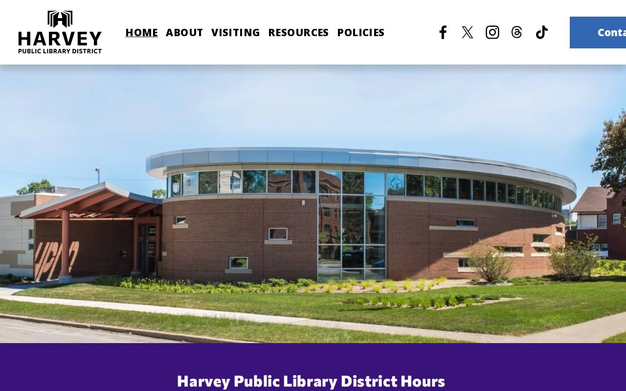
Call the library at 708-331-0757 before relying on the old shelf snapshot, and ask about current directory or newspaper access by appointment or microfilm.
The Historical Society adds public stories about homes, businesses, schools, churches, downtown, parades, and artifacts. It may preserve a block's history that never entered a parcel database. Such material is evidence for a dated local story, not a current list of neighbors.
Note: Directory and newspaper entries may be stale, misspelled, or incomplete, so record the title, year, page, and retrieval date.
Privacy Around Harvey Neighbors
A public map has firm limits. It does not expose private household members, utility customers, mail-delivery data, or general DMV addresses. A voter match confirms registration at the time of the check, not who shares the home. A deed shows a transfer. Even a named owner may receive tax mail elsewhere. These limits protect real people and also guard the searcher from a bad conclusion.
Illinois's Address Confidentiality Program can provide eligible survivors a substitute address and mail forwarding for four years. It is free and renewable. The program does not erase records already public and does not automatically conceal a property record, so a missing or substitute address should never be treated as deception.
Commercial neighbor tools compile material from sources with different dates. They can merge names, keep old addresses, or omit the source. Treat a compiled result only as a lead, then verify the parcel, record date, and custodian. Official records are also limited, but their fields, authority, and correction route are visible.
Lawful use. Learn about a Harvey block for civic interest, reconnection, or personal safety. Never watch, threaten, intimidate, or harass your neighbors.